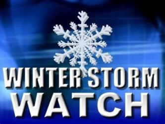
The National Weather Service in Grand Forks, North Dakota has issued a Winter Storm Watch for northwest west central Minnesota and eastern North Dakota from Monday evening to Tuesday morning.
The watch Includes the Minnesota cities of Crookston, East Grand Forks, Ada, Twin Valley, Halstad, Moorhead, Hallock, Karlstad, Lancaster, Warren, Stephen, Argyle, and Breckenridge. In North Dakota, it includes the cities of Cando, Langdon, Cavalier, Walhalla, Drayton, Pembina, Neche, St. Thomas, Fort Totten, Maddock, Leeds, Minnewaukan, Devils Lake, Grafton, Park River, New Rockford, Lakota, Mcville, Aneta, Tolna, Grand Forks, Cooperstown, Finley, Hope, Mayville, Hillsboro, Hatton, Portland, Valley City, Fargo, Lisbon, Enderlin, Gwinner, Milnor, Forman, Rutland, Wahpeton, Edinburg, Adams, and Lankin.
…WINTER STORM WATCH REMAINS IN EFFECT FROM MONDAY EVENING THROUGH TUESDAY AFTERNOON…
* WHAT…Blizzard conditions are possible. Total snow accumulations of 1 to 3 inches possible. Winds could gust as high as 60 mph.
* WHERE…Portions of northwest and west central Minnesota and northeast and southeast North Dakota.
* WHEN…From Monday evening through Tuesday afternoon.
* IMPACTS…Plan on slippery road conditions. Widespread blowing snow could significantly reduce visibility. The hazardous conditions could impact the morning commute.
PRECAUTIONARY/PREPAREDNESS ACTIONS…
Prepare for possible blizzard conditions. Stay tuned to KROX for updates on the system as it gets closer.
The post NATIONAL WEATHER SERVICE ISSUES A STORM WATCH MONDAY NIGHT THROUGH TUESDAY appeared first on KROX.


